The Glove Box Atlas — What Road Trips Were Like When Getting Lost Was Inevitable
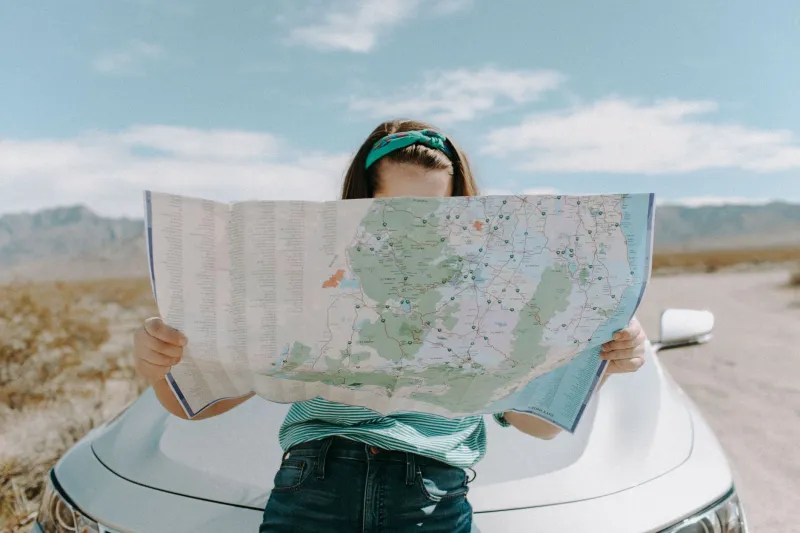
Somewhere in the glove box of almost every American car built before the year 2000, there was a map. Maybe several. A folded state highway map from a gas station, a spiral-bound road atlas with a cracked spine, or a custom TripTik from AAA — those iconic yellow-highlighted strips of road that your parents ordered weeks in advance for summer vacation. Navigation was physical. It took up space. It occasionally fell apart in your hands at exactly the wrong moment.
Today, you can drive from Portland, Maine to Portland, Oregon without once unfolding a piece of paper. Your phone knows your speed, your eta, the traffic two exits ahead, and the nearest restroom with a favorable rating. Turn-by-turn audio instructions have replaced arguments, guesswork, and the particular humiliation of having to admit you were going the wrong direction for forty-five minutes.
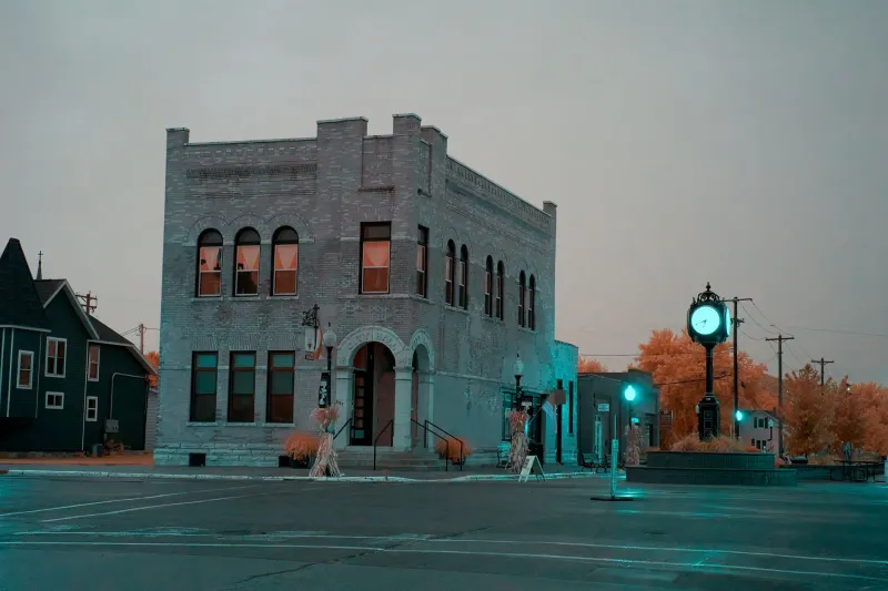
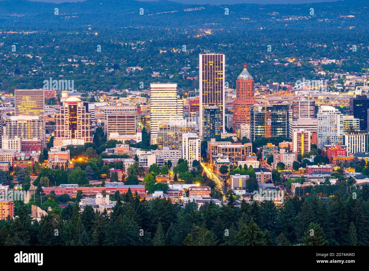 Photo: Portland, Oregon, via c8.alamy.com
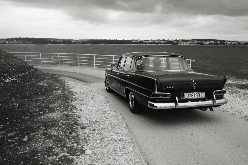
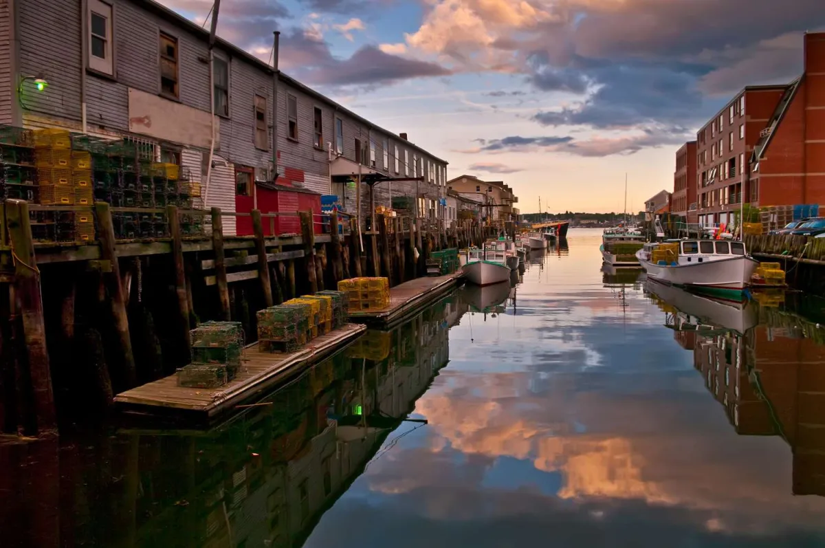 Photo: Portland, Maine, via www.tripsavvy.com
Progress, clearly. And yet.
The Paper Map Era Was More Complicated Than You Remember
If you grew up before GPS, you probably remember the ritual. Before a long trip, someone sat down with the map and traced the route with a finger, memorizing the major highways and the key turns. You wrote things down — exit numbers, landmark names, the mileage between cities. If you were lucky, your family was a AAA household and you had a TripTik: a custom-made booklet of map strips, each page covering roughly fifty miles, with your exact route highlighted in yellow marker by an actual human being at the local AAA office.
TripTiks were genuinely beloved. They were also a small miracle of analog logistics — a personalized navigation document created before computers could do it in seconds, assembled by hand, mailed to your house, and used once before being stuffed into a drawer.
Gas station maps were the other staple. Oil companies — Esso, Gulf, Texaco — gave them away for free as a marketing tool well into the 1970s. The maps were often excellent, detailed down to county roads and state parks. The catch was that they folded in a specific, origami-like pattern that was almost impossible to replicate once you'd opened them. Every road trip produced at least one moment where a passenger wrestled with a map that had doubled in size and refused to return to its original form.
Asking Strangers Was Normal
When the map failed — or when you were somewhere the map didn't cover with enough detail — you stopped and asked. This was not considered unusual. It was simply what you did.
Gas station attendants were the primary resource. In the era of full-service gas stations, the attendant pumped your gas, checked your oil, and could usually tell you exactly how to get to wherever you were going, including which roads to avoid and which diner was worth stopping at. This was local knowledge, unindexed and unarchivable, passed from one traveler to the next through brief human transactions at the side of the road.
Small-town locals were another source. Stopping at a hardware store or a diner to ask directions was a social act as much as a practical one. It often turned into a short conversation about where you were from and where you were headed. People drew maps on napkins. They described turns using landmarks that only made sense to someone who lived there — "turn left at the old Miller barn, it's red but it used to be white" — and somehow, most of the time, you found your way.
What Getting Lost Actually Felt Like
Here's the part that's hard to explain to anyone who grew up with GPS: getting lost wasn't always a crisis. Sometimes it was just part of the trip.
You took a wrong turn somewhere in the Ozarks and ended up on a two-lane road through a town you'd never heard of. You stopped for gas. You saw a sign for a state park. You decided to check it out. You had no idea how far off schedule you were because the schedule was approximate to begin with. You found your way back to the highway eventually, an hour late and not particularly bothered about it.
The absence of real-time tracking meant the absence of real-time anxiety about deviation. You couldn't see your blue dot drifting off the purple line. You couldn't watch your eta recalculate upward in real time. You were just somewhere, figuring it out, which is a different psychological experience than being a managed object moving through a predetermined corridor.
The Road That Doesn't Surprise You Anymore
GPS navigation is an unambiguous improvement in most measurable ways. It reduces accidents caused by distracted map-reading. It saves fuel by optimizing routes. It gets you where you're going faster and with less stress. For people driving in unfamiliar cities, it's transformative.
But it has also subtly changed the nature of the road trip. When every route is optimized and every turn is announced thirty seconds in advance, the journey becomes a delivery mechanism for the destination. The road itself — the unexpected town, the diner that appeared at exactly the right moment, the scenic detour that nobody planned — gets filtered out in favor of efficiency.
The old maps didn't just show you where to go. They showed you how much territory existed between the places you already knew. There was a sense, unfolding one of those enormous Gulf station maps across the hood of a car, that the country was genuinely vast and full of places you hadn't been and might never get to. That feeling is harder to access when the algorithm has already decided which roads are worth your time.
The glove box atlas is gone. The trip is smoother. Whether it's better depends on what you were looking for when you left home.